Aerial 3D Mapping with Professional Drones
Our company utilizes state-of-the-art professional drones equipped with LiDAR technology and multispectral cameras to create highly accurate digital terrain models and 3D point clouds. This technology allows us to efficiently and precisely map landscapes, detect hidden mineral resources, and provide in-depth data analysis to support mining project planning and risk assessment.
Technology and Tools
- Drones
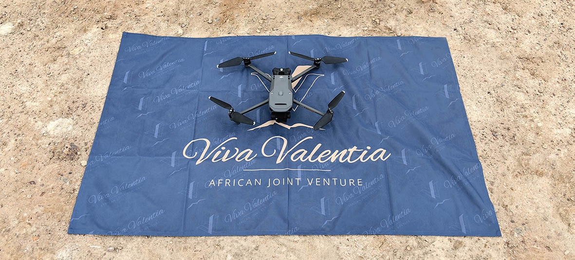
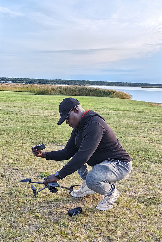
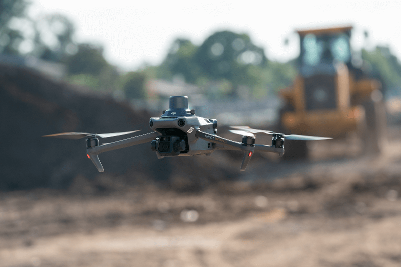
Our drones ensure reliable flight stability and high-resolution imaging, even in hard-to-reach areas. The advanced platform enables us to efficiently collect data over large areas and quickly adapt to changing conditions.
- LiDAR (Light Detection and Ranging)
LiDAR technology uses laser beams that penetrate dense vegetation and other obstacles to generate an accurate 3D point cloud. This method measures distances with an accuracy of up to ±10 cm, which is crucial for creating precise terrain models.
- Multispectral Cameras
These cameras analyze the reflection spectra of minerals on the ground, allowing for the detection of anomalies related to gold, copper, or other valuable minerals. This advanced technology provides clients with valuable insights into potential mineral deposits.
Applications
- Detection of Hidden Mineral Resources
Aerial 3D mapping enables us to identify mineral resources even in areas where traditional exploration methods may fail.
- Calculation and Optimization of Mining Waste Volumes
Using the collected data, we can accurately estimate the volume of mining waste and optimize production processes, reducing costs and environmental impact.
- Comprehensive Terrain Analysis
3D scanning provides a detailed digital overview of the mining area, supporting both strategic planning and future decision-making.
Advantages and Added Value
- Speed and Efficiency
Our technological solution enables mapping of up to 1,000 hectares within just three days, compared to traditional methods that may take up to three months.
- Safety
The use of drones eliminates the need for personnel to enter dangerous or hard-to-access areas, significantly enhancing safety for both workers and the environment.
- Accuracy and Reliability
LiDAR and multispectral cameras provide highly accurate data, minimizing errors and optimizing mining operations. Our data analysis and reports are generated using top-tier software, giving investors confidence in the precision and reliability of project data.
- Licensed and Experienced Team
Our operations are fully licensed, and our team is certified for the use of DJI and LiDAR technology. This ensures professionalism and compliance with international standards.
Our innovative solutions help maximize productivity and reduce risks – together, we can achieve outstanding results!


